
Fairfield Township ZIP Code Coverage
Fairfield Township is a Butler County civil township, not the City of Fairfield. The strongest verified postal context comes from the USPS Office of Inspector General report on Fairfield Branch service and from township government addresses. Those sources support a careful distinction: a ZIP can be served by Fairfield Branch without proving that every address in it lies inside the township. Use the table as a routing guide, then verify each physical address through USPS and the county parcel map.
| ZIP | Areas Covered | Post Office | Notes |
|---|---|---|---|
| 45011 | Hamilton and Fairfield Township service area | Fairfield Branch | Township Administration, Police, Fire, and Public Works publish this ZIP. It crosses postal and jurisdiction lines. |
| 45014 | Fairfield postal geography | Fairfield Branch | Branch service is verified. The ZIP alone does not establish Fairfield Township jurisdiction. |
| 45015 | Fairfield Branch service area | Fairfield Branch | Verify the individual address, county, and township before treating it as a township address. |
| 45018 | PO Box service | Fairfield Branch | A PO Box ZIP, not a physical street-residence area. |
Do not add 45013, 45067, or 45069 as blanket Fairfield Township ZIPs. Research found nearby or overlapping Butler County postal geography, but no authoritative postal and township-boundary overlay proving which township parcels, if any, use those ZIPs. A full-address USPS result and the Auditor’s township layer are the defensible check.
Fairfield Township ZIP Codes Do Not Set Boundaries
A delivery ZIP, a mailing city, a parcel jurisdiction, and a court territory answer different questions. The township borders Hamilton to the west, the City of Fairfield to the south, St. Clair Township to the north, and Liberty Township to the east. Its township government addresses use 45011, but a 45011 result is not a ruling on the city or township that controls an address. The Butler County Auditor’s parcel and GIS tools are the record route for the land location.
For a questionable address, use a fixed order: USPS validates delivery formatting and ZIP, the Auditor or GIS layer identifies the parcel and township setting, the Recorder’s legal description confirms land identity, and the relevant township, city, court, election, or zoning custodian answers its own jurisdiction question. A tax mailing address is only a correspondence field. A situs address identifies the physical parcel. A legal description identifies the recorded lot, block, subdivision, or other land description.
Verify a Fairfield Township ZIP Code with USPS
The USPS ZIP Code Lookup is the first check for one delivery address. In address mode it asks for Street Address, City, and State, with Company and Apt/Suite/Other optional and ZIP optional. Its city and state mode requires City and State; reverse lookup requires a five-digit ZIP. USPS cautions that a result does not confirm a person or company at an address. That warning matters when an address is being used as a record-search key.
- ZIP
- A five-digit USPS delivery-routing code. It does not define a municipal or township boundary.
- ZIP+4
- The five-digit ZIP plus four more digits used to refine delivery routing for a narrower segment.
- PO Box ZIP
- A ZIP used for post-office boxes. Fairfield Branch’s 45018 is verified in this category, so it is not a street search area.
- Carrier route
- A postal delivery sequence within an area. It is a routing term, not a parcel or court jurisdiction.
A Fairfield Township legal-advertisement archive shows the type of published local-notice material that should be read with its stated jurisdiction rather than its ZIP alone.
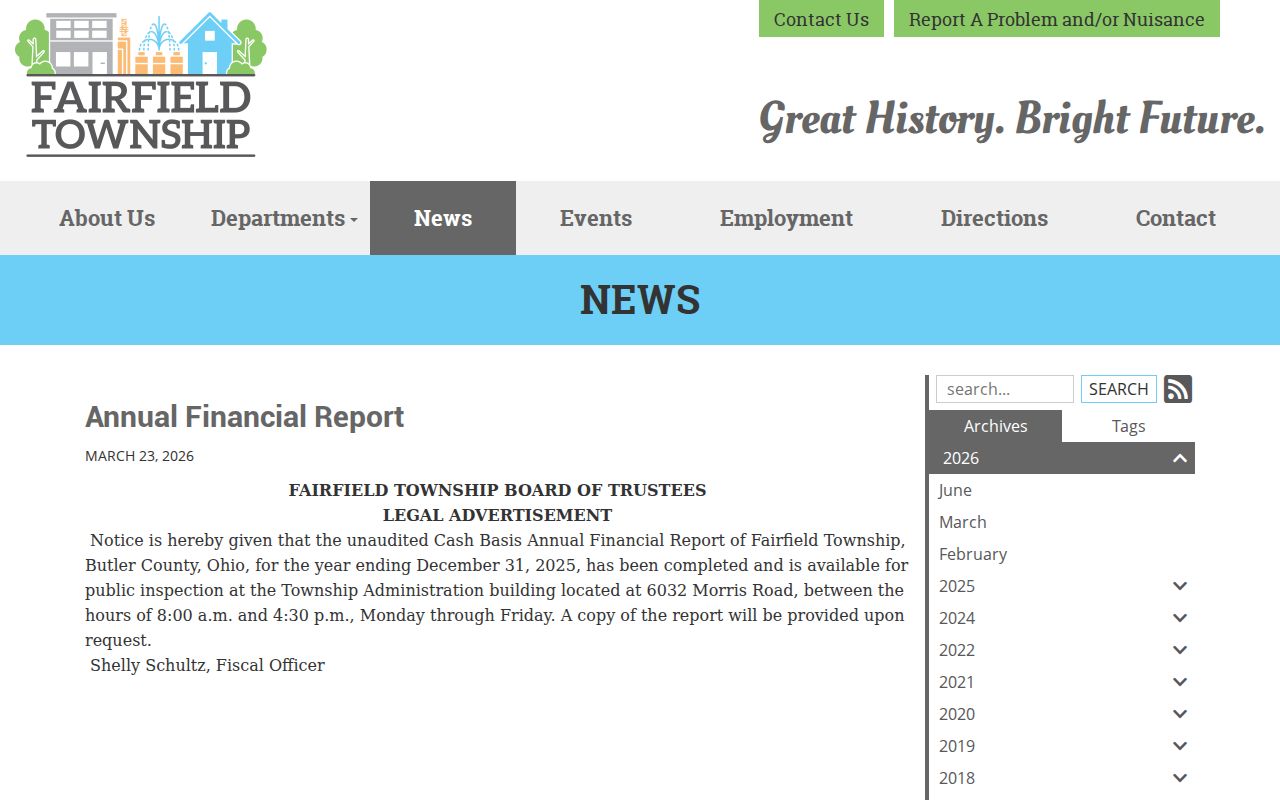
Published notices can use a township name, road, or meeting context that helps identify the correct custodian. They do not replace an address-level postal check or parcel review.
Fairfield Township ZIP Code Polling Fields
Butler County’s residence-address polling lookup is a ZIP-capable local form. It identifies a polling place, not a directory of people. The form requires a House Number, Street Name, City, State, Zip Code, and County; Unit Type and Unit Number are optional. Its use is narrow but useful when a known address needs an election-location check. The Board of Elections is the right counter or call route for a local voter-file request, correction, or precinct question.
| House Number | Required residence-address field. |
|---|---|
| Street Name | Required address street field with autocomplete. |
| City and State | Required mailing-place and state selection. |
| Zip Code | Required postal narrowing field. |
| County | Required county selection. |
| Unit Type and Number | Optional unit fields. |
The Butler County Board of Elections provides the county office route used for current election questions.
The visible county office channel is useful when the online form cannot answer a precinct or record-access question. Ohio’s public voter-data rules still exclude protected and confidential information, and the inspected research did not establish a current downloadable county-file format or fee.
Find Fairfield Township Records by ZIP Code
A ZIP code can narrow an address workflow, but it does not yield a public township-wide resident list. The Auditor offers Owner, Address, Parcel, Advanced, Map, and Sales modes; its dynamic advanced criteria were unavailable during the inspection, so no ZIP-wide Auditor filter should be promised. The Recorder is built around party, document, date, and legal-description records rather than a dedicated ZIP field. Accela supports address lookup, but its inspected address mode did not show a ZIP control.
- Enter the full address in USPS ZIP Code Lookup and save the returned delivery ZIP and postal city.
- Open Butler County Auditor Property Records by address, then note the parcel ID, situs address, transfer details, and legal description.
- Use the Auditor GIS township and municipality layers to check whether the parcel is in Fairfield Township or a neighboring jurisdiction.
- Use the address polling form only to locate a polling place for the known address, not to identify people.
- Request a narrow existing record from the custodian that holds it, using the parcel ID, legal description, record number, or date when needed.
Once the postal area has narrowed the address, the Fairfield Township street directory provides the separate street-by-street record method. It is the right route for parcel and address context, while this ZIP code directory stays focused on postal geography.
45018 and the Fairfield Township ZIP Code Exception
The USPS OIG Fairfield Branch report identifies 45018 as a PO Box ZIP. That is a useful local exception because a five-digit code may look like a geographic search area when it is not. Do not use 45018 to search a street, select a parcel, infer a township boundary, or draw a conclusion about a physical address. For a delivery location, return to the full street address and USPS lookup.
The same report supports Fairfield Branch service for 45011, 45014, and 45015, but it does not map the township border. The careful reading is therefore limited: branch service is confirmed, a PO Box rule is confirmed for 45018, and individual street addresses still require a postal and parcel check.
Fairfield Township ZIP Code Records by Custodian
Postal geography can help route a question, but the subject of the record determines the office. Fairfield Township produces local police, fire, zoning, road, fiscal, trustee, resolution, and meeting material. Butler County holds land, tax, court, probate, election, and many building records. Area II Court has territorial jurisdiction over Fairfield Township, not the City of Fairfield Municipal Court. A mailing city or branch ZIP should never decide that court question by itself.
Fairfield Township monthly department reports show another official township information channel.
Department material can clarify which local office produced a township record. For a parcel, transfer, court, election, or permit question, use the county or court custodian identified by the record type instead of relying on a postal label.
Fairfield Township ZIP Code Labels and the 1954 Split
The 1954 creation of the City of Fairfield from the southern portion of Fairfield Township is the key local story behind many postal and historical-label mismatches. Other territory remained township, including described retained southern and State Route 128 areas. Across time, the same vicinity may appear as Fairfield Township, City of Fairfield, Fairfield, Hamilton, or another postal wording. A historic record should keep its original locality label and date.
No inspected source documented a township-wide street renumbering project or a ZIP realignment date. When an older address does not match a current search, compare the legal description, road or route name, subdivision or plat, nearby cross street, township or city variant, and dated maps or newspapers. Do not assume that a present-day postal city rewrites the place shown on a historic record.
Fairfield Township ZIP Code Public Records Check
Address questions sometimes need a public-records request after the correct custodian is identified. Ohio’s Public Records Act, ORC 149.43, is the state framework for inspection, copying, exemptions, and redactions. Ask for an existing, narrow record series such as a zoning file by address and approximate year or a parcel profile by parcel ID. A focused request gives the office a usable starting point and avoids asking it to make a conclusion about a person from a ZIP.
The township’s 2025 resolutions archive is a public source for the adopted local record context, including the reported amended public-records policy.
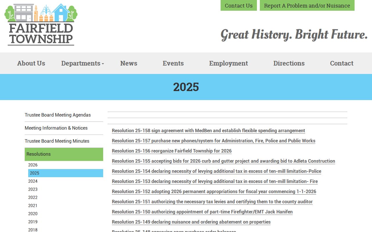
Use the official policy and the named custodian to shape a records request. A ZIP code remains a delivery clue, while the requested record should be identified by its subject, date, address, parcel, or file number.