
Finding Fairfield Township Neighbors
Looking up Fairfield Township neighbors is a block-record task, not a name list. The most dependable sequence begins with a parcel and then checks the immediately contiguous lots. The Auditor profile provides parcel, owner, situs, mailing, transfer, and map context. The GIS service supplies the geography around it. Historical directories and library materials can describe a past block at a particular date. Each source has a narrower role than a live household roster.
| Source | What It Shows About a Block | Access |
|---|---|---|
| Auditor GIS parcel service | Current parcels, roads, township and municipal context, flood layers, and aerial imagery | Public map and parcel browsing |
| Auditor Property Records | Parcel owner role, situs, mailing role, transfer, and property profile | Public portal, counter, or narrow request |
| Butler County Recorder | Recorded party and legal-description chain for a selected parcel | Public index and images; certified-copy route at Recorder |
| Ohio My Voter Information | One person's verification and polling information after a match | Individual lookup, not a nearby-voter list |
| Lane Libraries | Maps, directories, newspapers, photos, and time-specific neighborhood context | Research service and local collections |
Owners and neighbors are not interchangeable. A parcel can carry an owner mailing address that is an office, post-office box, or another property. The situs address identifies the land itself. Neither field establishes the identities of all household members. Keep the displayed role and date with every result.
Mapping a Fairfield Township Block
The verified local method is parcel by parcel. The Auditor GIS layers include Current Parcels, Roads, Municipalities, Township, FEMA flood hazards, and aerial years. They help distinguish a parcel edge from a street-name assumption. The inspected source did not expose a confirmed live buffer or measure tool, so the sound instruction is to browse adjacent parcels and open the property profile for each one.
- Enter the known address in Auditor Property Records and save the situs address, parcel ID, legal description, and transfer clues.
- Open the mapped parcel in the GIS service and identify only the lots that directly touch it. Check road, municipal, and township layers before assuming a simple house-number sequence.
- Open each nearby parcel profile. Record the owner role, mailing role, parcel ID, and date, rather than relying on a label shown on the map.
- Use the Recorder only after the parcel and legal description are known. Compare a deed or related instrument by party, date, type, and legal description.
This process is deliberately narrow. For a longer route along a named road, the Fairfield Township street directory uses the same records without turning a single block into a claimed household list.
Fairfield Township Parcel Roles
The Auditor's owner, address, parcel, map, and sales modes are valuable because they keep a block tied to a specific parcel. A selected profile can include transfers, value history, land, structures, permits, maps, photos, sketches, and assessments. Those details date a property record. They do not supply a current list of people who live nearby. The same caution applies to a recorded party, permit applicant, or tax correspondence address.
| Official parcel record | Uses a parcel ID, situs, owner role, mailing role, transfers, and property details held by the Auditor. |
|---|---|
| Commercial neighborhood listings | May combine records from different dates and sources. Treat a listing as a lead to check with the responsible custodian, not as block proof. |
| Best block conclusion | State the recorded role and date, then stop where the official record stops. Do not convert ownership into occupancy. |
When an Auditor result and map display seem to differ, compare the parcel ID before changing the search. A mailing label, aerial image date, or road edge can be misleading. The parcel and legal description are the stable link to the land record.
Fairfield Township Boundary Clues
Fairfield Township's 1954 history matters when reading a block. The southern portion became the City of Fairfield, while other territory stayed township. Retained areas include a described Georgetown and East River Road stretch and an area near State Route 128. A record can therefore use Fairfield Township, Fairfield, Hamilton, or another postal label without naming the same government unit or custodian.
Use the township and municipality layers before drawing a block boundary from a mailing city or ZIP. The township has irregular edges, and a street can also involve a private drive, state route, city street, or township-maintained road. Parcel jurisdiction, court territory, service provider, and postal city answer different questions. The 1954 split is a local records story that keeps a modern search from blending together separate places.
Note: Record the parcel jurisdiction and postal label together before asking a township, city, or county office for a location-specific file.
Fairfield Township Community Context
A community layer can explain a development proposal, historic block, or civic program, but it is not a source for member names. The confirmed Fairfield Township context is limited to publicly posted program and contact information, meeting and zoning material, and local-history collections. No official township-wide neighborhood or homeowner member directory was located. Use public contact channels when one is posted, and do not infer participation from a street address.
Neighborhood Watch and Citizen Police Academy
Township department material documents the community and alumni context where public program details are available. It does not publish a member roster.
Meetings and zoning material
Township resolutions and meeting material can identify a public land-use, road, or development discussion. It is not a directory of a block.
Lane and Historical Society context
Lane Libraries and the Butler County Historical Society hold maps, clippings, photos, directories, and historical context. Collection access varies.
For a location issue, ask the relevant government office for an existing zoning, road, permit, or meeting file by address, approximate year, and file type. That is more accurate than trying to reconstruct community membership from property records.
Fairfield Township Voter Limits
Ohio's online voter tool is built for one person's verification. It requires first name, last name, and county, with a possible street-name narrowing state after a match. It is not an address-to-neighbor browser. The separate Butler residence-address form finds a polling location from address fields, which identifies a place rather than the people who use it.
ORC 3503.13 governs the public and confidential split. Social Security and driver or state-ID numbers, phone, email, confidential registrations, protected addresses, and proof-of-citizenship material are excluded. A current local request question belongs with the Butler County Board of Elections; the researched official sources did not provide a current downloadable-file format, price, field list, or permitted-use terms to assume.
Historic Fairfield Township Block Context
For an older block, Lane's Smith Library of Regional History and Cummins Local History Room provide the strongest local handoff. The library accepts property-history, newspaper, obituary, genealogy, military, and photograph research requests. Ask staff for Hamilton, Fairfield, Fairfield Township, relevant road, and postal-place variants because older material may not use a standalone township heading.
Reverse or criss-cross directories can give an address-to-occupant snapshot for the year of the volume, but exact local volume runs must be confirmed with staff. Pair a dated directory entry with the nearest released census, a deed, newspapers, an obituary, probate index, and map. Each is a time slice. None proves a continuous household or a current neighbor.
Fairfield Township Neighbor Safety Context
County and state custody pages have a narrow safety role. They do not establish who lives on a Fairfield Township block, and they should not be used to make a claim about a person's current location. For a dated incident or report, use the custodian and the specific record identifier instead of treating a custody display as neighborhood information.
Butler County Sheriff records requests provide the county route for an existing record by report number, date, or location.
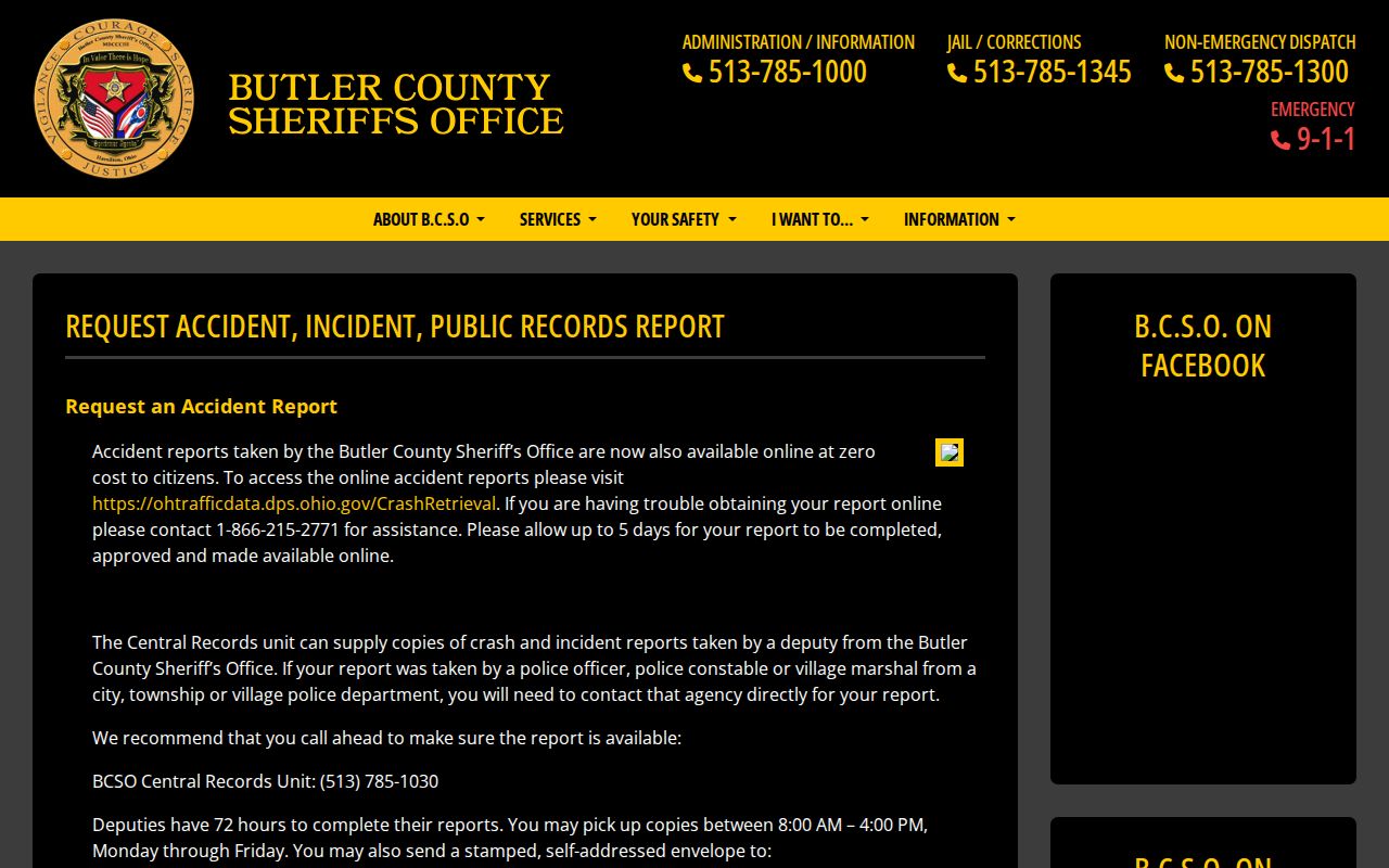
A narrow request lets the Sheriff apply the correct access and redaction rules. It is not a request for a list of people around an address.
Butler County's custody roster landing page links to current county custody information.
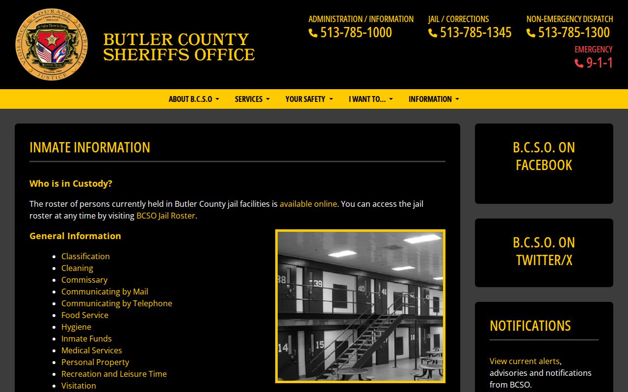
Current custody is time-bound. It cannot confirm a person's ordinary residence, past presence on a block, or future location.
Ohio's state custody search is separate from county systems.
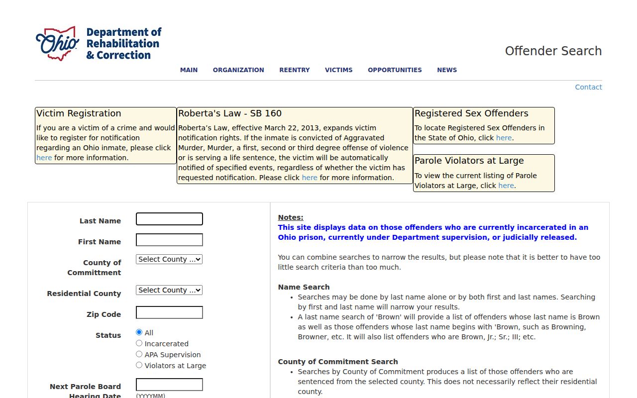
The state source warns that any residential address can be the last recorded one. County of commitment also is not a residence field, so neither should be treated as a block result.
Privacy Limits for Fairfield Township Neighbors
Non-owner household members, utility customers, delivery customers, protected voters, Safe at Home participants, and many police, court, and vital details stay outside an address search. Ohio's public-utility customer information has a specific exclusion, and Safe at Home information is confidential. A parcel record can identify a recorded owner role, but it does not reveal every person connected to a location.
Butler County's registry information page directs users to the state search and local alerts for published safety precautions.
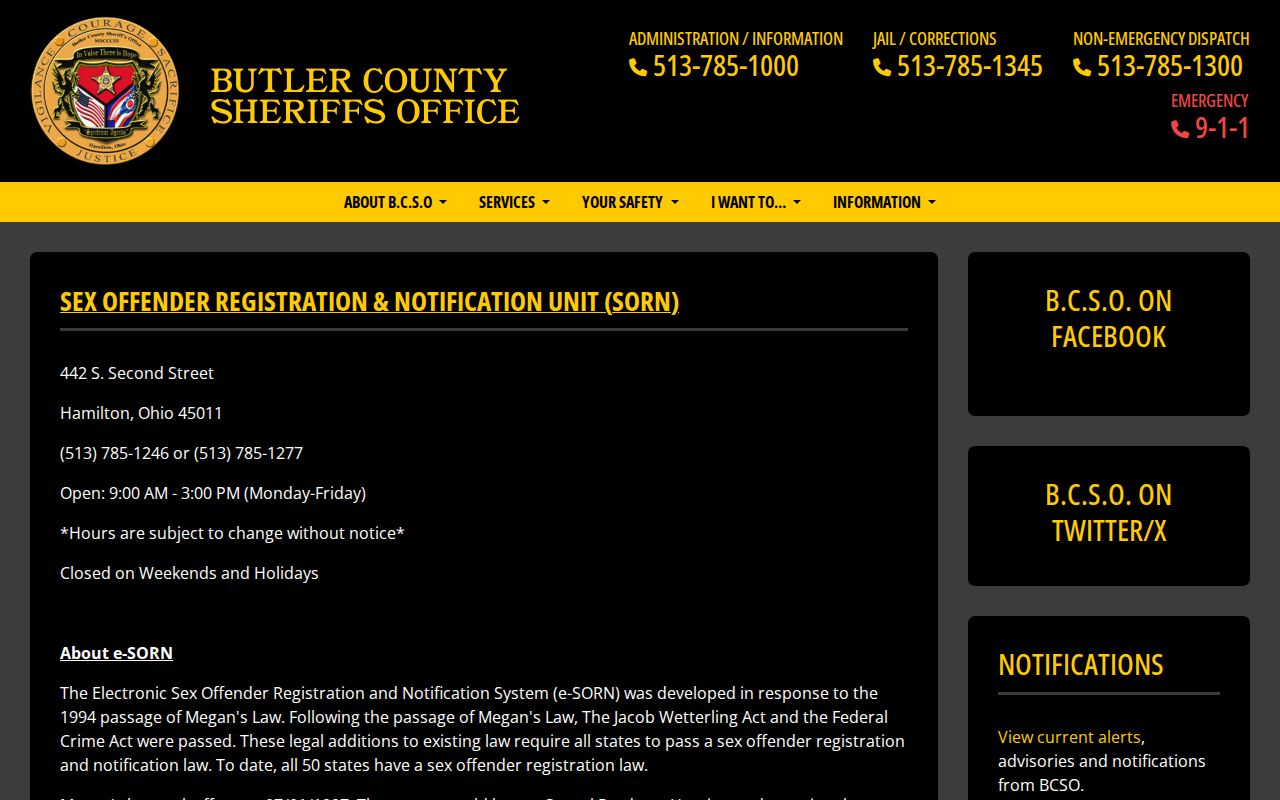
Published registry status is not a finding that a listed person is currently dangerous. It is not a substitute for an emergency response, and it does not turn a records page into a neighbor list.
Ohio registry conditions describe the published state framework.
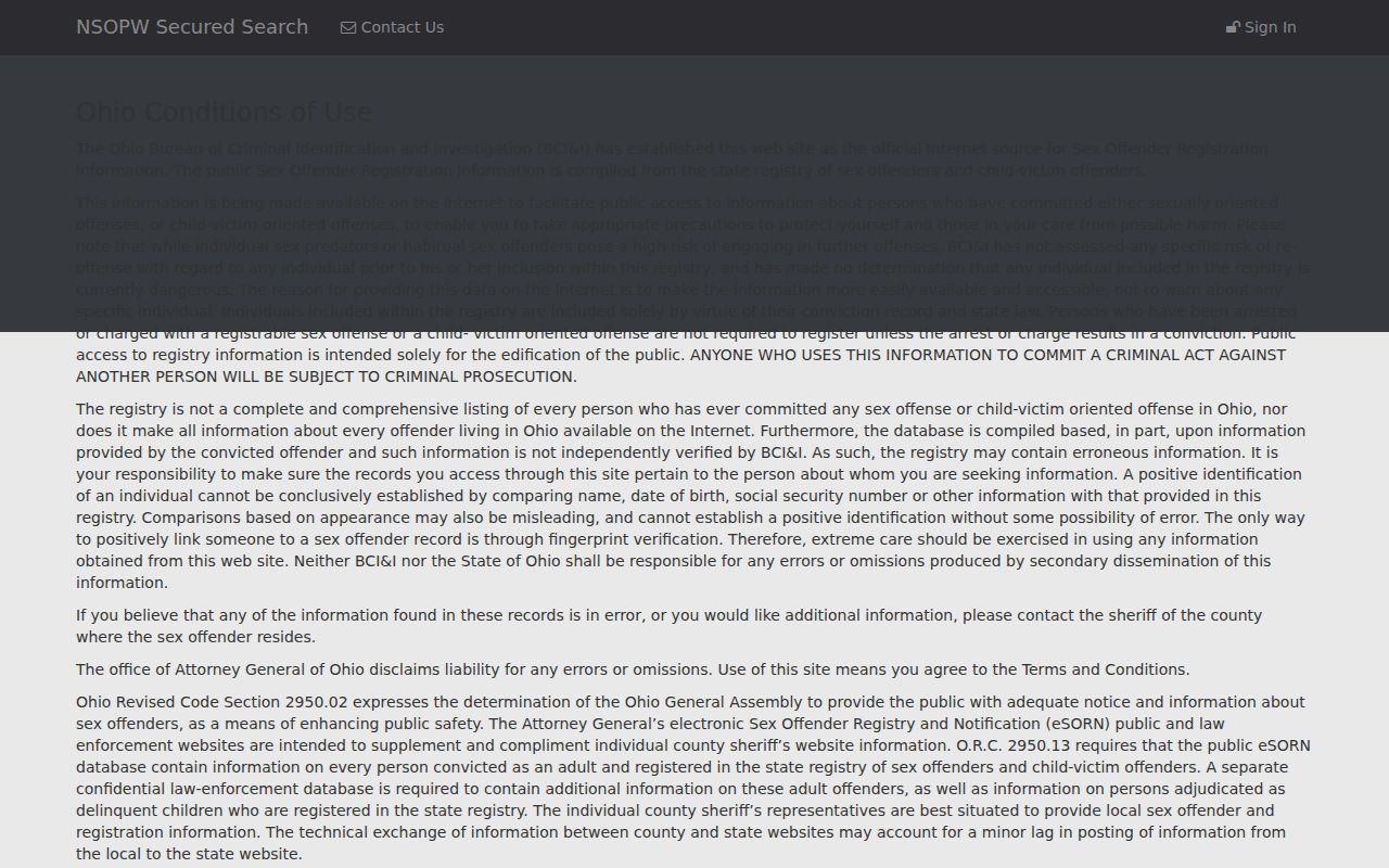
Use published information only for lawful precautions. Do not extend an entry into an unsupported claim about a household, property, or block.
The Federal Bureau of Prisons locator is a separate federal custody system.
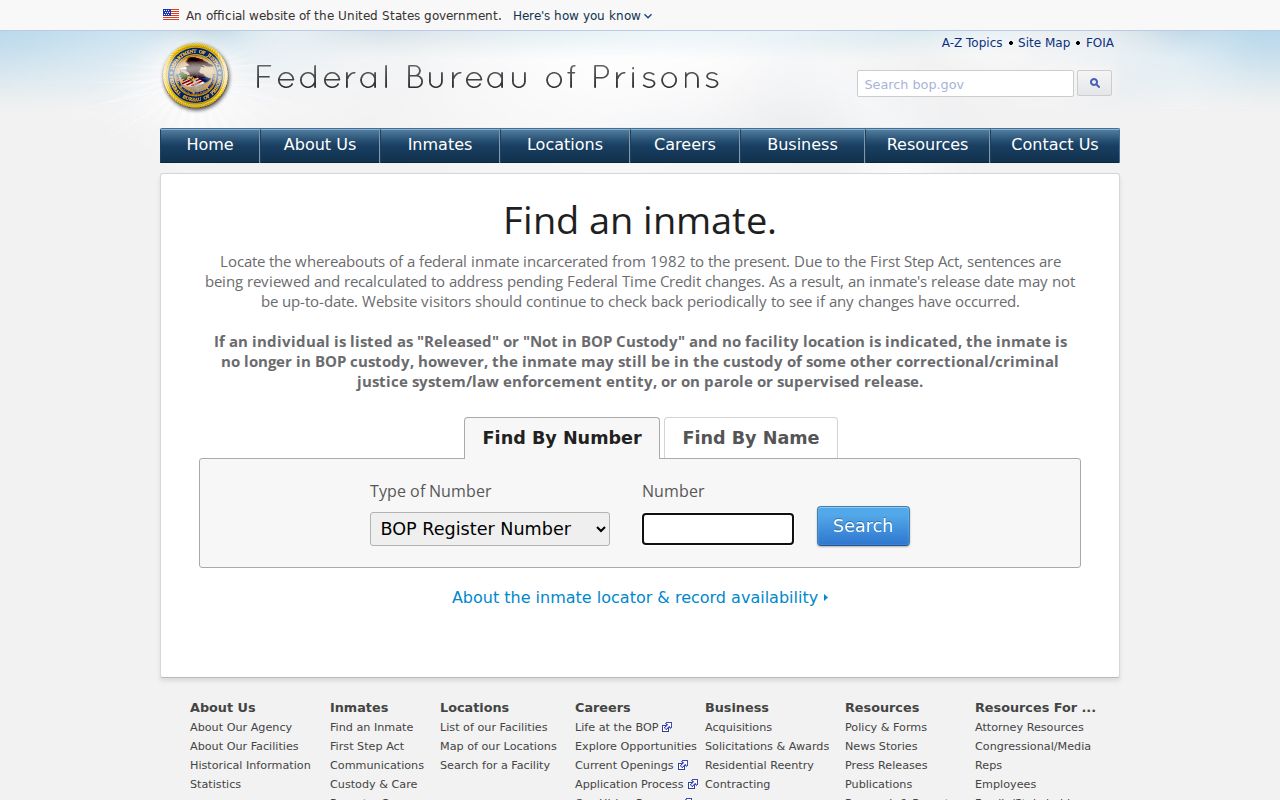
A federal result concerns custody, not a Fairfield Township address. Release information can be under review and does not identify where someone is now.
Lawful use. Fairfield Township neighbor research may support personal safety, civic awareness, local history, or property curiosity. Never use records to stalk, harass, threaten, or harm anyone.