
Trace a Fairfield Township Street Address
The useful Fairfield Township street directory trail is address to parcel, parcel to legal description, and legal description to recorded document. Butler County keeps those stages with different custodians. A parcel profile supplies the current land record and transfer clues. GIS adds the road, parcel, township, municipal, flood, and aerial context. The Recorder supplies recorded parties and land descriptions. A directory or newspaper is a dated observation about people, not a substitute for the land chain.
- Enter the physical address in the Butler County Auditor address search and retain the returned parcel ID, situs address, owner field, transfer line, and legal description.
- Open that parcel in the GIS service. Check the road, township and municipal layers before treating a mailing label as a jurisdiction.
- Use the transfer date and current recipient name to search the Recorder as grantee. Compare the deed's legal description with the parcel record.
- Search the earlier party as grantee to locate the preceding acquisition. Record the document number or book and page at every handoff.
- For an older household question, ask Lane Libraries for the relevant reverse, criss-cross, city, or telephone directory and pair the dated entry with newspapers or census material.
Keep the exact input address, parcel ID, legal description, document number, date, and source role together. That small audit trail prevents an address match from becoming an unsupported claim about who was present.
Fairfield Township Street Directory Search Fields
The Butler County Auditor Property Records system is the first official stop for a Fairfield Township street directory task. Its modes are Owner, Address, Parcel ID, Advanced, Map, and Sales. Address mode is the appropriate way to identify one physical parcel. A selected profile can then expose transfers, values, structures, permits, land, tax detail, photos, sketch, map, Pictometry, and assessments. The Auditor counter is also a fallback when the web system is under maintenance.
| Auditor control | Use by street | Research limit |
|---|---|---|
| Search by Address | Find the parcel behind a physical street address. | Returns a parcel record, not a household roster. |
| Search by Owner | Check an owner role after an address result. | An owner mailing address may be elsewhere. |
| Search by Parcel ID | Reopen the land record after map or deed work. | Requires the parcel identifier already found. |
| Advanced Search | Build a criterion-based query and manage criteria. | At least one criterion is required; dynamic criteria were unavailable during inspection. |
| Map and Sales | Compare parcel location or transfer-oriented information. | Neither mode confirms who occupies a property. |
The Auditor Property Records landing page shows the entry point for these parcel searches.
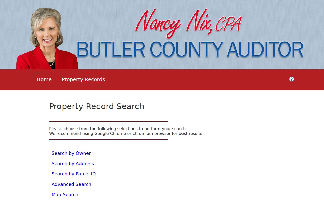
Start with Address, then use the parcel profile to connect the street result with the Recorder's legal-description search.
Note: The inspected Auditor interface did not confirm a public control that exports every address on one street, so map browsing and individual parcel review remain the verified route.
Read a Fairfield Township Street Segment
The Auditor GIS service is how a Fairfield Township street directory search gains geographic context. Its recorded layers include Current Parcels, Roads, Municipalities, Township, FEMA Flood Hazard Areas, and aerial imagery from 2018, 2020, 2022, 2023, 2024, and 2026. Open a parcel from the map, then return to the parcel profile rather than relying on a label. The service supports map and query work, but its maximum record count is 1,000 and a map is reference information, not a legal survey.
The official Butler County parcel map service presents the layers used to distinguish a road from a township or municipal boundary.
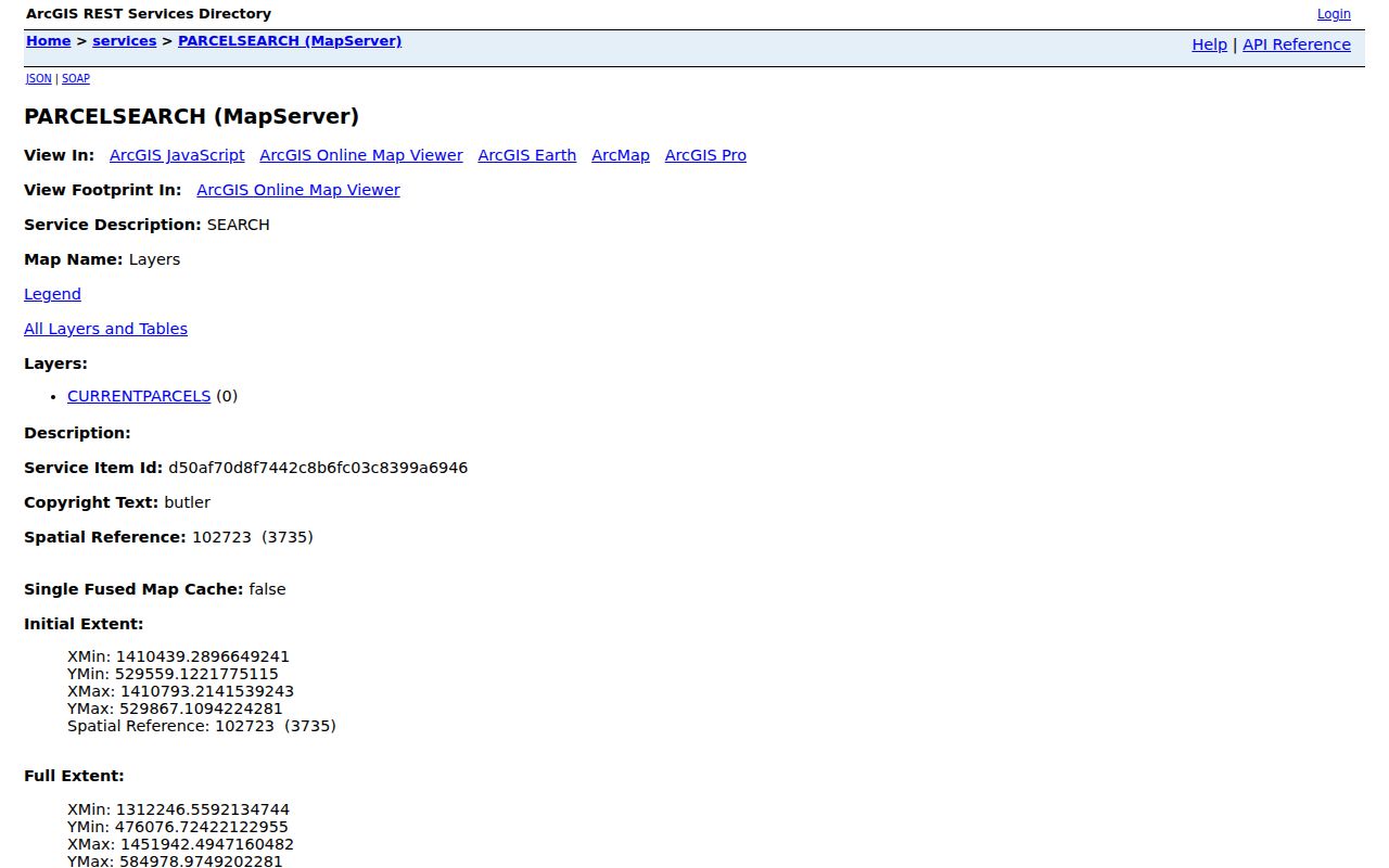
Road and boundary layers are especially valuable near a jurisdiction edge, where postal wording and the parcel's government setting may differ.
Aerial imagery can help select a permit or zoning time period after a visible change. It does not identify a person or prove why a change happened.
Note: GIS layer dates describe parcel and aerial context, not the date or identity of a person connected with an address.
Fairfield Township Street Records
Each address-keyed source answers a narrow question. The core chain is the Auditor profile and Recorder document. GIS supplies parcel setting, while zoning and permit files can add a project date or an event role. Lane's holdings supply historical occupant snapshots when a relevant dated volume exists. The address itself ties these sources together, but the legal description is usually the stronger bridge when older records use a different place label.
| Address record | Local custodian | Useful result | Limit to retain |
|---|---|---|---|
| Property profile | Butler County Auditor | Parcel, owner role, transfer, value, land, structure, permit categories | Does not list all occupants. |
| Parcel map | Auditor GIS | Parcel geography, roads, jurisdiction and aerial context | Not a survey or household list. |
| Recorded documents | Butler County Recorder | Parties, legal description, deeds, liens, plats, releases | Does not identify every resident at an address. |
| Zoning or permit file | Township Zoning or Butler County Accela | Address, project, permit, zoning, applicant or contractor role | Role and date do not establish occupancy. |
| Directory or newspaper | Lane Libraries | Dated address or household observation | Not continuous residence evidence. |
Ohio's voter self-lookup and the county polling-place form have even narrower roles. One verifies an individual using name and county; the other returns a voting location from a residence address. Neither is a public list of people along a street.
Sort Fairfield Township Address Clues
Old and current records can describe the same land three ways. The physical or situs address locates the parcel. The owner mailing address is where correspondence is sent. The legal description identifies the land through a lot, block, subdivision, section, township and range, metes and bounds, condominium wording, or another recorded form. When a street search turns up conflicting postal labels, preserve all three instead of forcing them into one label.
- Parcel
- A county land-record unit that anchors the Auditor profile and map result.
- Situs address
- The physical address of the parcel. It may differ from the owner's correspondence address.
- Legal description
- The recorded land identifier used to compare deeds and plats when a street address changes or varies.
- Criss-cross directory
- A reverse-style directory that may list an address under a relevant historical volume, subject to the collection held.
The Auditor parcel profile system is the source for the profile categories that make those distinctions visible.
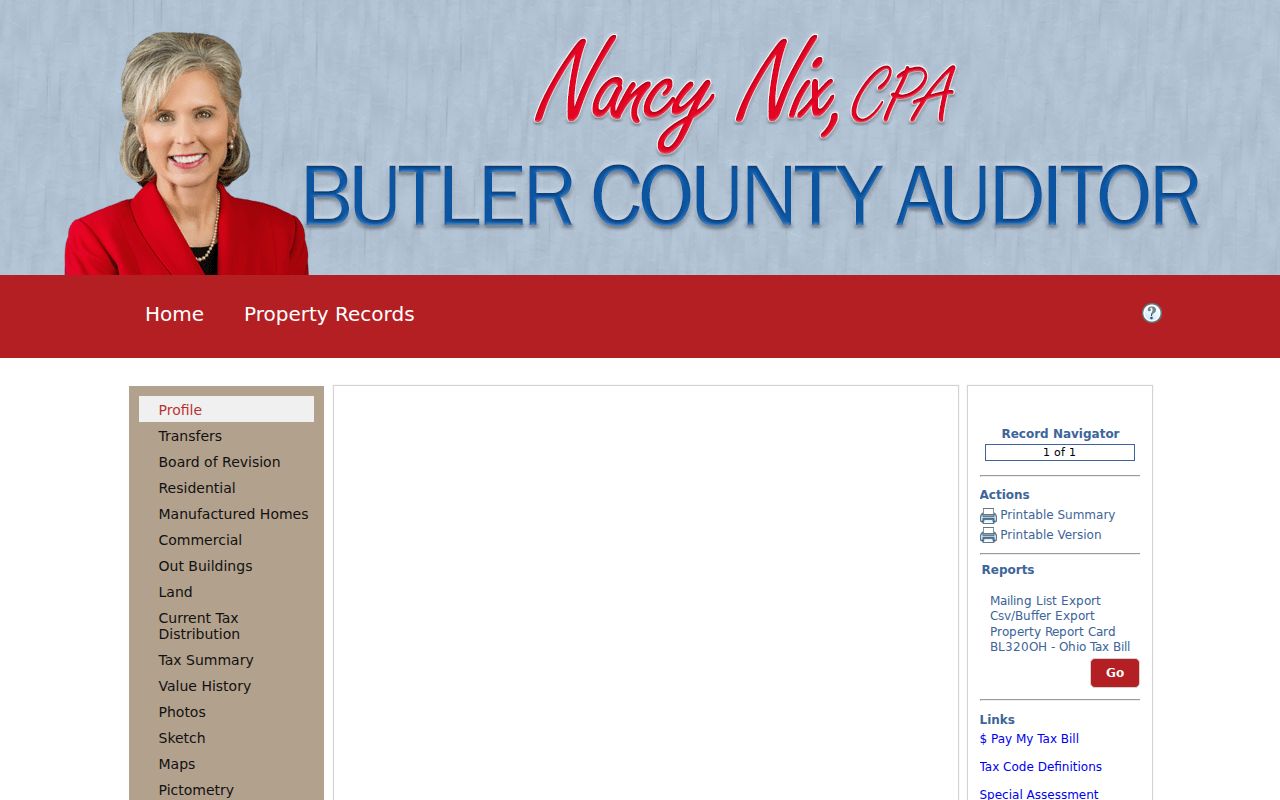
Compare a returned owner field, transfer line, physical address, and parcel identifier before beginning document work.
Follow a Fairfield Township Deed Chain
The Butler County Recorder advanced search is the land-document stage of the Fairfield Township street directory chain. It accepts Party Names, Grantor, Grantee, recorded-date ranges, document types, document numbers, Book and Page, OCR phrases, and City, Subdivision, Township, or Condo legal-description fields. Enter a current recipient as grantee, locate the purchase deed, and use its earlier party and legal description for the next link backward.
The portal displays a real-property range beginning 1800-01-01. The Recorder reports that imaging is complete and all records are online, while the advanced menu still exposes legacy Deed Index Books 45 through 51 and Mortgage Index Books 25 through 30. That broad access is useful, but early documents can still require a legal-description, book/page, spelling, subdivision, or place-variant search. A document image is not the same as a certified copy; the Recorder is the source for certification and any current copy terms.
Record the document type as well as the names. A release, lien, easement, or plat can concern the same parcel without being the ownership transfer. A deed, certificate of transfer, or related conveyance should be compared against the Auditor transfer pointer before it is placed in the chain.
Note: A broad online date range improves access, but a successful historic search still depends on the recorded legal description and party spelling.
Fairfield Township Permit Evidence
Address evidence has separate local channels. Fairfield Township Zoning keeps local zoning applications, certificates, maps, reports, and related material. Request an existing township file by exact address, year, and file type. County building records use the distinct Butler County Accela portal, where the search type can be Address, Parcel Information, Owner, Record Information, or Licensed Professional. Address mode provides street-number, direction, name, type, unit, state, and related controls.
The Butler County Accela Citizen Portal is the verified county permit-search route.
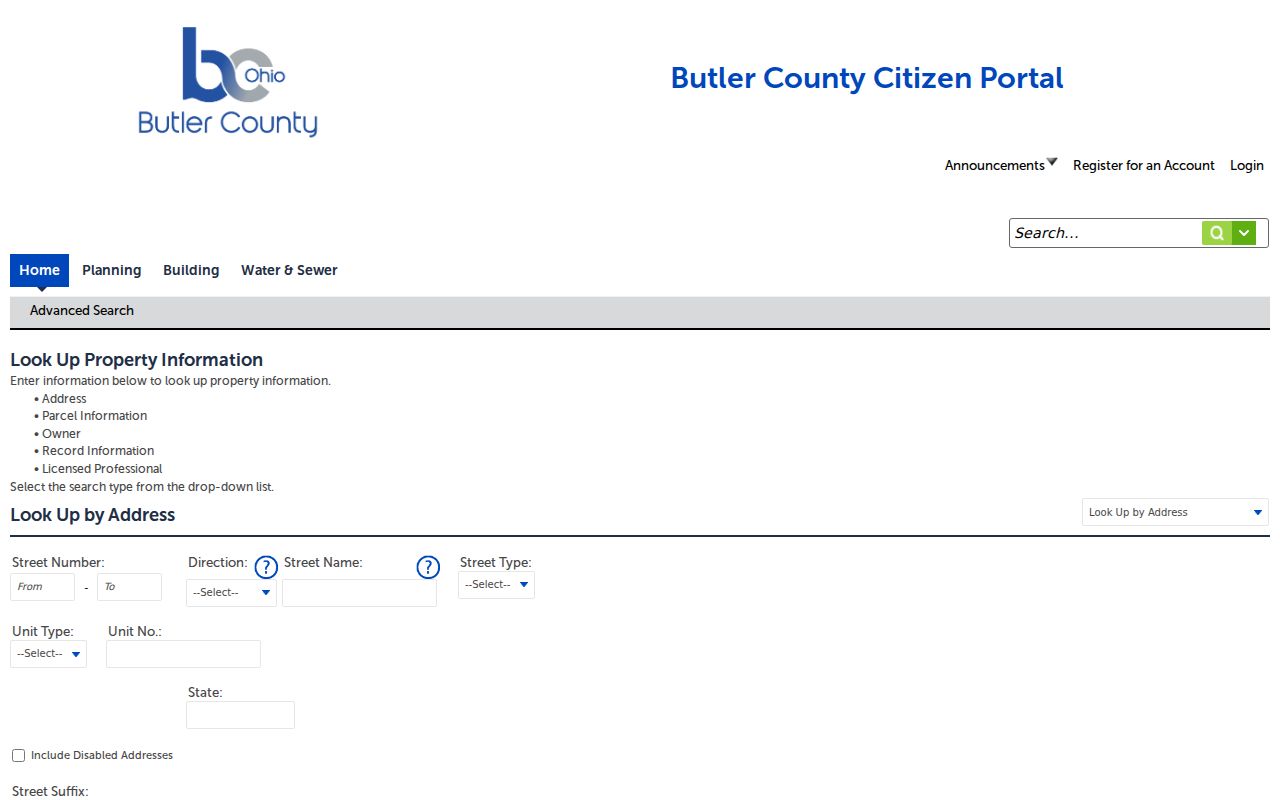
Use a returned permit as a lead to the correct custodian's underlying file. An applicant or professional is an event-specific role, not a statement that someone lived at the address.
Township government retains zoning material, while Butler County holds many building records. The custodian should match the record type, even when both files use the same street address.
1954 Labels in Street Research
Fairfield Township was established in 1803, but its historical address geography changed in 1954 when the southern portion became the City of Fairfield. Northern territory and certain southern portions remained township, including described East River Road, Georgetown Road, odd-numbered-address, and State Route 128 areas. A record trail can therefore use Fairfield Township, Fairfield, Hamilton, or another mailing label while referring to related local geography.
Search an old street with the present address, the legal subdivision or parcel description, road or route, and applicable place variants. The research found no documented township-wide street-renumbering project, so an unsuccessful exact-address search should not be explained by an invented renumbering date. Lane maps, atlases, property-history help, newspapers, and Recorder legal fields are the documented ways to test the older form.
ZIP delivery language also does not settle land jurisdiction. Pair a postal result with the Auditor GIS township and municipal layers before choosing a local office.
Older Occupants Along Fairfield Township Streets
Property ownership and occupancy are different facts. For a dated occupant along a Fairfield Township street, Lane Libraries accepts property-history, genealogy, newspaper, obituary, military, and photograph research requests. The Smith Library of Regional History and Cummins Local History Room hold directories, yearbooks, maps, historical newspapers, City of Hamilton records, and Fairfield history materials. Ask staff for the relevant Hamilton, Fairfield, Fairfield Township, telephone, reverse, or criss-cross runs rather than assume a continuous township directory exists.
A dated directory entry should be copied with its publication title, year, page, address, name, spouse notation, listed affiliation, and abbreviation key. Pair it with the closest released federal census, deed transfer, newspaper notice, or historic map. The historical collections themselves are described on the Fairfield Township city directory page.
Lane's Fairfield Echo holdings provide a concrete local newspaper bridge: the title ran from 1956 through 2013, with microfilm for 1970-1981 and 1987-2013 and digitized coverage for 1982-1987. A newspaper item is still a contemporaneous notice, not proof of a continuous stay.
Note: Individual directory volume years were not exposed in the online catalog inspection and should be confirmed with Lane staff before relying on a gap.
Voter Tools Are Not Street Lists
Ohio's official voter self-lookup requires first name, last name, and county. Butler County also offers an address form for finding a polling place. Those tools have practical address uses, but neither produces a public, street-wide roster. Ohio law excludes protected registration information, including confidential voter records and certain identifying data, from public voter material.
The Butler County polling-place lookup illustrates the address-based tool available locally.
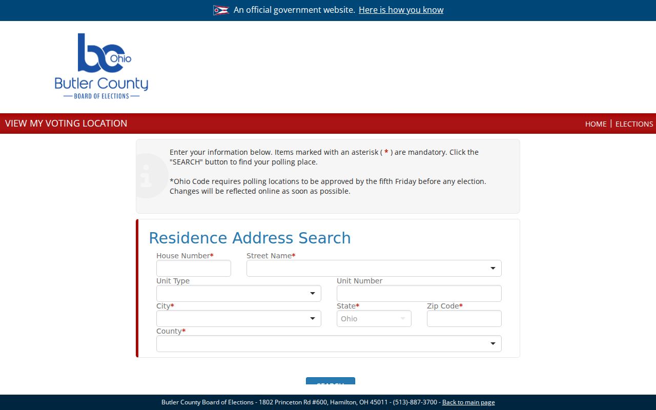
A returned polling location confirms where to vote for a supplied address, not a person's presence there or a list of nearby registrants.
Limits of a Fairfield Township Street Directory
A Fairfield Township street directory can identify parcel and recorded-document roles, then point toward dated local sources. It cannot turn those roles into a complete current household list. The ordinary property record does not supply non-owner occupants or household relationships. GIS is not a legal survey. Utility customer data, protected voter material, Safe at Home information, medical material, and many court or vital details have separate privacy limits.
Lawful use. Fairfield Township address records are suited to personal, lawful property and local-history research. Do not use an address trail to stalk, harass, intimidate, or harm any person.
When a record is wrong or needs formal verification, contact the office that created it. The Ohio Public Records Act governs inspection and redaction questions, while the originating custodian remains responsible for the legal meaning of its records.